When we decided to use the 2018 season to establish a few Sport Walking Trail Records, we needed to start with some shorter distances and gradually build duration over the summer. This meant picking some routes around 40-50k in length and relatively close to home, so we could keep the logistics as simple as possible.
Many challenge routes are point to point, like the Ridgeway or North Downs Way and, of course, this means recruiting a supporter to drop you off and pick you up at the other end. So, you can imagine what a pleasant surprise it was to discover that there was a way marked trail, almost on our doorstep, that was actually a loop! Yes, you can go from one end of the loop to the turn around point and stop or, indeed, do the same in the other direction but the full loop was nearly perfect for us to kick off this little project.
The Staunton Way gets its name from Staunton Country Park on the outskirts of Havant in Hampshire, north east of Portsmouth. It links this charming little spot with Queen Elizabeth Country Park near Petersfield, itself a key milestone on the South Downs Way and home to the biggest climb on that route – Butser Hill. So the terrain on the upper sections would be challenging and given that we’d decided to do the route in an anti-clockwise direction, there would be a pretty steep climb straight from the off.
One of the main reasons we decided to go anti-clockwise was that the alternative would have meant climbing on the shared South Downs Way trail up through the park. This track is really rutted on the steep section and the anti-clockwise route is a gravel track, so it would be easier to get into a rhythm. Hitting a steep rutted climb right from the off is not something you want really if your main purpose is to set a consistently fast time for the whole route. The anti-clockwise route was still steep in places and hit you from the gun too but the smoother surface would make the going a bit easier.
Once you reach the southern tip of the park and break out onto open fields, the realisation of what this route has to offer hits. Your route down to Havant and the way back up again lies ahead, as this trail essentially traverses two sides of the valley to your left. The sheer expanse of the downland really is breath taking from this spot but after the descent from Queen Elizabeth Country Park, you’re shaken back to reality with the climb up to Chalton Down. It’s not a steep climb but if you’re travelling at speed it’s steep and long enough to test you.

From the top of Chalton Down, you traverse around fields down to the village of Finchdean and from there, you climb up again to Wellsworth Lane at the top of Rowlands Castle. This is the start of the more urban section of the route, that will take you all the way to the turn around point before returning to Rowlands Castle on the north bound stretch.
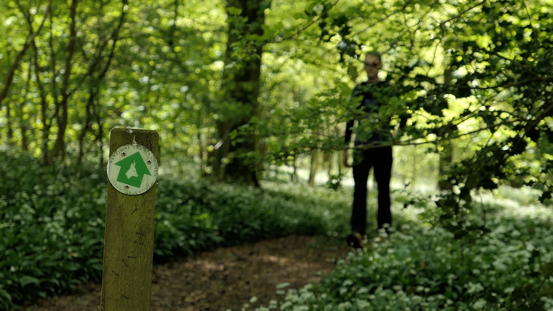
The section through Rowlands Castle to the edge of Staunton Country Park is pretty straightforward but here’s a junction with the Monarch’s Way and it’s easy to mistake this for the Staunton route on the map. There are stickers on road signs, so it’s just a question of being vigilant. After a quick scoot across a golf course and another road section, you cross into the edge of Havant Thicket. Beware here, because your instinct will be to enter via the car park but the Staunton Way entrance is almost hidden further along the road. Basically, look for the very edge of the vegetation and the fence of the house next door, then look closely and you might just see the way marker. On the map, the path isn’t shown but you essentially go just inside the green area.

From there, just follow the path round and into Staunton Country Park and then just continue through, past the viewpoint and down to the entrance gate. Turn left and make your way to the underpass which is the turn around point. The way mark stickers go a little awol after this but if you follow the signs for the Shipwrights Way you won’t go wrong. After a short stretch on residential streets, you turn left up Prospect Lane and the journey back to QECP begins.

From Prospect Lane, there’s a shortish stretch along a nice woodland path back up to Rowlands Castle and then you hit the trails proper once again. Remember, we’re traversing two sides of a valley, so you’re constantly reminded of where you’ve already been. As you break out onto the rather steep grassy slope, look left and you’ll see Wellsworth Lane or at least the hill that Wellsworth Lane runs over!
Soon, you reach a road and then cross over and back onto the trail. Signage is OK on this stretch but at the base of a steepish descent near South Holt Farm the way marks point straight ahead but the official guide shows a left turn and the map also has a way marked route but no trail name next to it. These discrepancies between what’s marked on the ground and what’s shown in official guides, let alone the map are one of the challenges of…. challenges!

Pressing on it’s through South Holt Farm and then on to one of the jewels of the route, especially if you’re doing the walk in late Spring. The single track through the woods down to Old Idsworth Church is lined with wild garlic and bluebells. Onwards past Old Idsworth Farm and then Woodcroft Farm it’s time to climb! This stretch up to Ditcham Park School isn’t a killer but by this point, if you’ve been pushing on, it’s long enough and steady enough to be quite a slog. That’s the thing with long climbs that aren’t super steep, they trick you. You can keep up a good pace but go too hard on the lower slopes and you’ll pay. So, don’t fear the Ditcham Park Climb but do respect it.

There follows a quick scoot through Oakham woods and down to Coulters Dean Farm, where you join the South Downs Way back to Queen Elizabeth Country Park. You don’t stay on the South Downs Way all the way back though, the two routes briefly part company at the car park above Buriton before re-joining and then you stay on this trail all the way back to the visitor centre in the main car park – the start and finish point.
The Staunton Way may only be 34k long but it’s as good a five or six hours on downland trails as you could want. It’s become one of our favourite routes and is perfect as a training walk for longer challenges. Whether you take it as fast as you can and set out to beat the Trail Record of 4 hours 33 minutes or treat it as a steady 100k pace training session, the Staunton Way won’t disappoint.
Staunton Way Full Loop
Start point – Queen Elizabeth Country Park visitor centre, rear courtyard (there’s a big wooden sign)
End point – as start point
Distance 34km
Projected time for a strong but steady Sport Walk – 5 – 6 hours
Direction – go either way it’s your choice. It’s debatable whether either direction is harder than the other but the first climb in QECP is smoother if you go anti-clockwise.
More info: https://www.hants.gov.uk/thingstodo/countryside/walking/stauntonway
Leave a Reply